
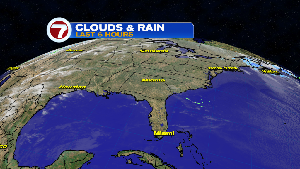
High pressure is set to shift East into the Atlantic Ocean today providing for an onshore flow. This will bring in passing clouds, maybe a spotty shower (limited moisture), warming breeze, and rip current risk at area beaches.
No major changes take place until the end of the week rolls around when our main weather story will be the warming temperatures. In fact, between Friday and the weekend, highs climb into the upper 80’s and some areas possibly getting into the low 90’s.
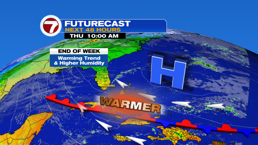
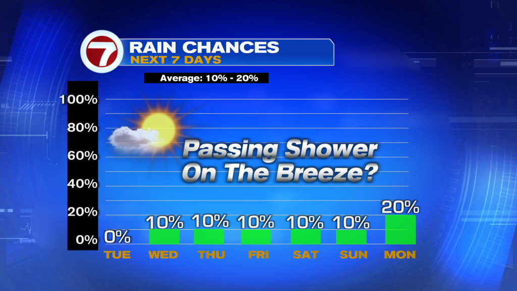
Next front approaches on Monday, but not expecting a temperatures changes. Maybe a few showers ahead.
Have a wonderful day South Florida and make it a safe one!
Vivian Gonzalez
Meteorologist, AMS Certified
WSVN Channel 7